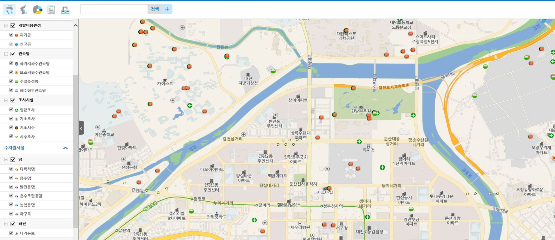
Information Map Service
National Groundwater Information Map Service
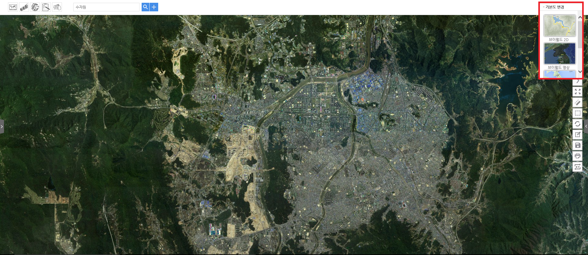
Search and analyze groundwater information based on the web GIS
Main Functions
- Inquiry : Permit/report on well, specification of well, building, river, land registration, hydrogeological map, groundwater use, strata cross section and etc.
- Search : Property parcel number, wells, building, wells in same user name, cultural properties or rivers by area, regional and user input radius.
- Analysis : Water level, water quality and electrical conductivity of national groundwater monitoring station
Current Progress
- Install 167 regions by the year 2021.
- Connecting Groundwater basic researches, widen installation in national level(all regional governments) by the year 2021.
Expected Effect
- The Public : Search and Analysis Groundwater information based on the Web GIS.
- Civil servants : Support of administrative duties such as permit/report on groundwater development and utilization, groundwater management and etc.
- groundwater enterprises : Groundwater effect research, evaluation of proper development site and etc.